|
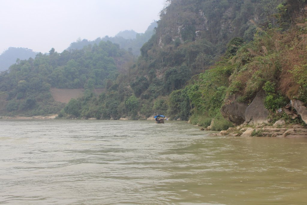 |
| The Chai River | |
| Latitude: N 22°27'7,88" | Longitude: E 104°14'37,65" | Altitude: 103 metres | Location: Trong Do | State/Province: Lao Cai | Country: Vietnam | Copyright: Ron Harkink | See map | |
| Total images: 37 | Help | |
|
|
|
| The Chai River | |
| Latitude: N 22°27'7,88" | Longitude: E 104°14'37,65" | Altitude: 103 metres | Location: Trong Do | State/Province: Lao Cai | Country: Vietnam | Copyright: Ron Harkink | See map | |
| Total images: 37 | Help | |